-
Table of Contents
Setup
Know the basics
Get the data
Clean your data
Ask some questions
Show your results
More reading
Panoply
Contents
Setup
Know the basics
Get the data
Clean your data
Ask some questions
Show your results
More reading
Panoply
Overview
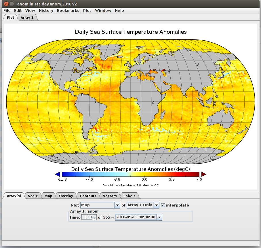
“Panoply is a a cross-platform application that plots geo-gridded and other arrays from netCDF, HDF, GRIB, and other datasets1.”
Panoply allows users to slice and plot geo-gridded arrays from multi-dimensional variables. Panoply also allows users to explore remote THREDDS and OPeNDAP catalogs. Multi-dimensional datasets can be plotted with the following dimensions:
- Latitude-Longitude
- Latitude-vertical
- Longitude-vertical
- Time-vertical
Panoply can also export plots and animations.
-
http://www.giss.nasa.gov/tools/panoply ↩